
"Welcome to Maulesmillen!"
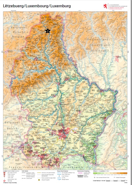
Topological map of Luxembourg
Maulesmillen is located in the very North of Luxembourg, indicated with a star.
Location
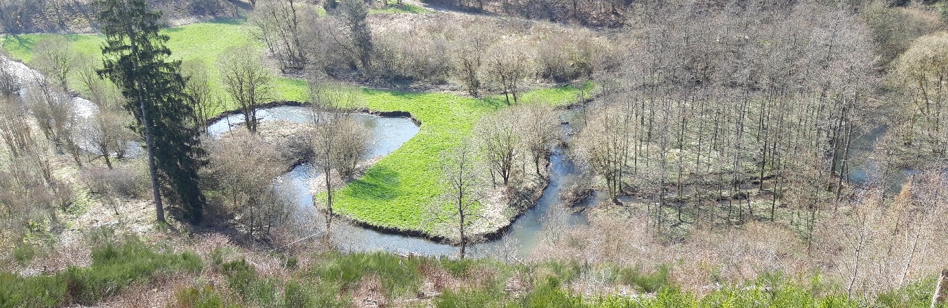
From its source in Huldange (530 m above sea level) to Maulesmillen (425 m), the river Woltz traverses some stunning Ardennes countryside.
High water
Upstream sluice
Water sounds
There are a lot of water sounds around a mill.
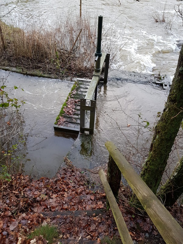
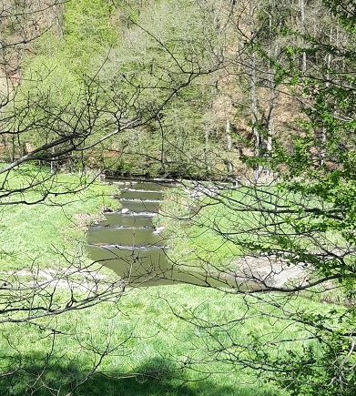
Upstream sluice (turbulent flow):
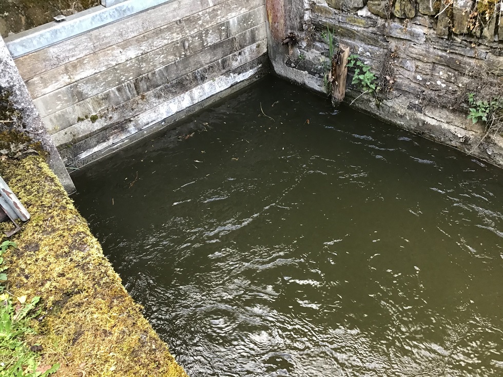
Intake sluice (upwelling):
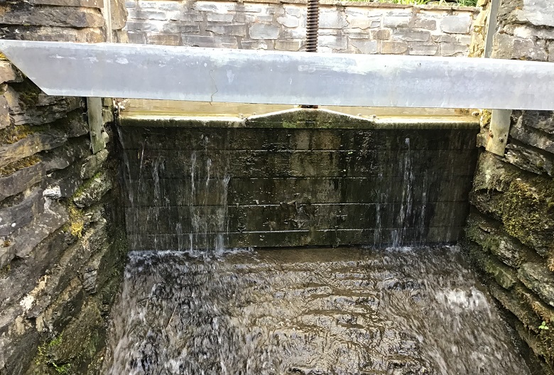
Bypass sluice (splashing):
Exit sluice (water wheel):
Historical water level of the river Woltz at Clervaux
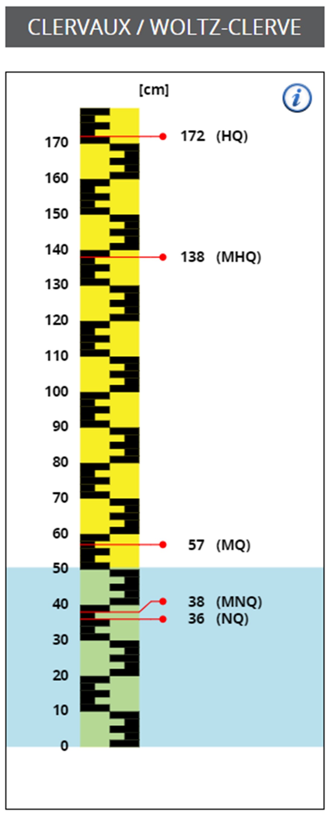
Water level
Here's a chart of the water level of the river Woltz.
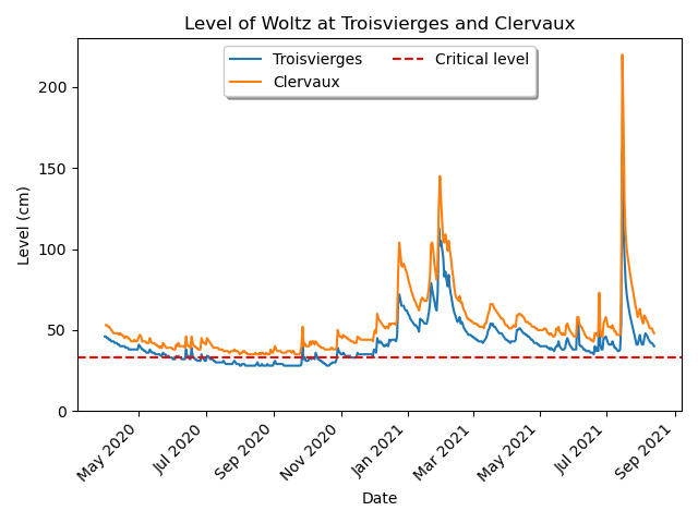
The mill can produce electricity, provided that the water level does not drop below the critical level (Troisvierges critical level). More detailed recent readings of the water level can be found here.
The mill during the flood
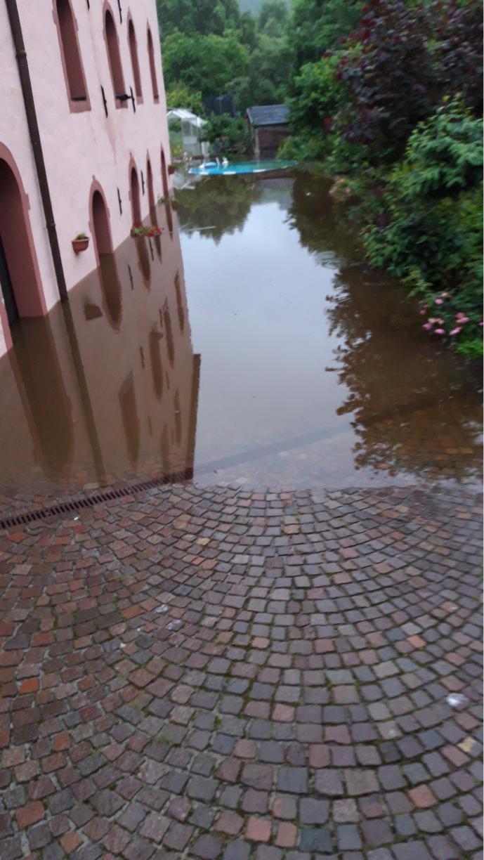
Flooding
On 14th July 2021, a once-in-a-century flood struck the Woltz valley, causing extensive flooding to the house. Water levels rose far above usual levels (peaking at 220 cm, see chart of water level above), submerging the courtyard and ground floor of the mill.
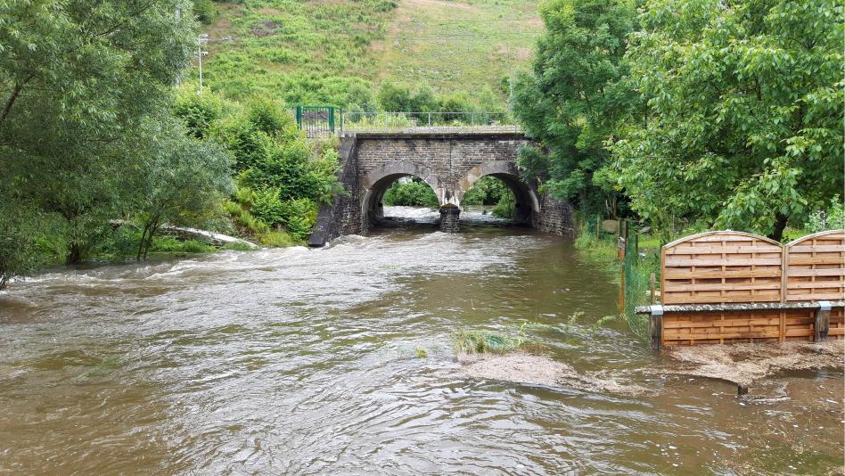
The Woltz burst its banks, turning the usually gentle river into a torrent under the railway bridge.
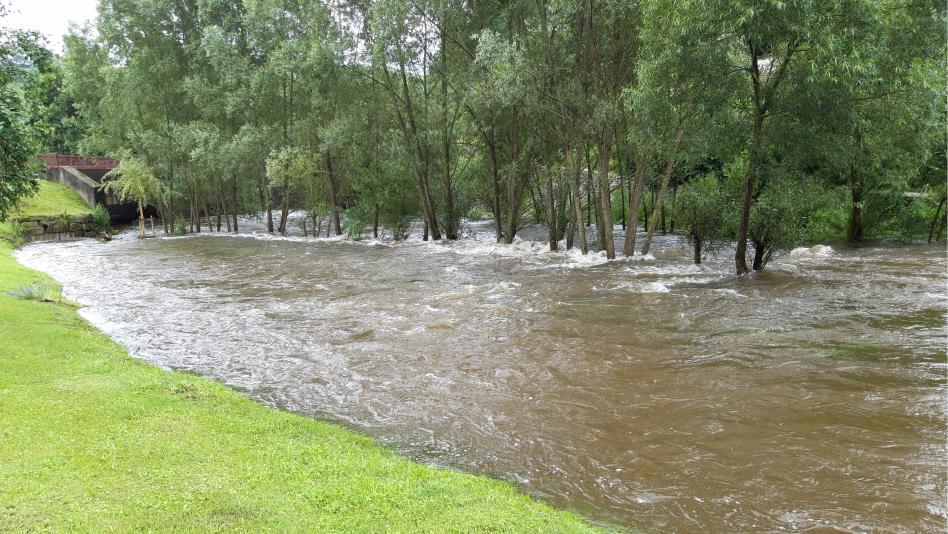
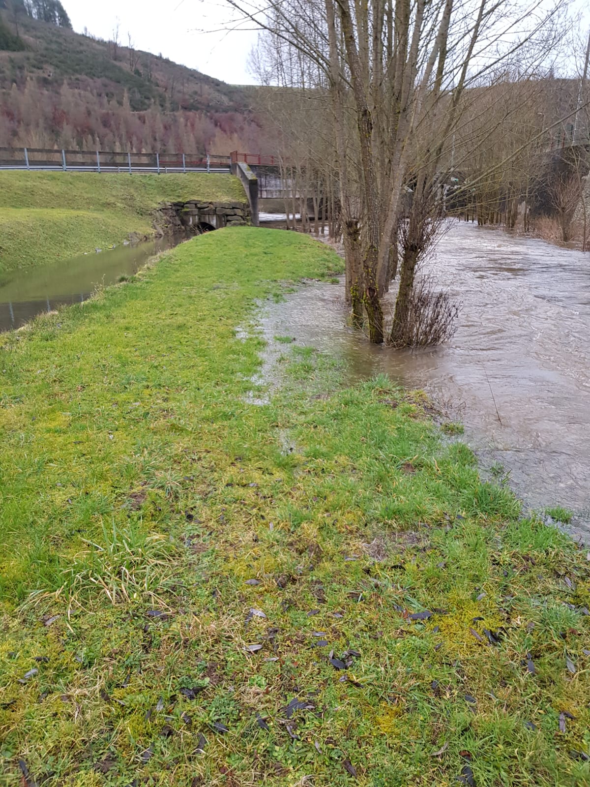
The swollen river spread across the meadows, submerging trees along its banks.